Darcy Cordell
PhD Geophysics
dcordell@ualberta.ca
using electromagnetic geophysical methods for a wide array of
applications
Research interests include:
volcanic hazards
earthquake hazards
space weather hazards
subduction zones
geothermal energy
and more
Current Research Projects
My main area of expertise uses magnetotelluric methods to image the electrical conductivity of the Earth for a wide array of applications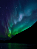
Space Weather Hazards in Alberta
I am currently an NSERC Postdoctoral Fellow at the University
of Alberta investigating hazards to the electric power grid
during geomagnetic storms.
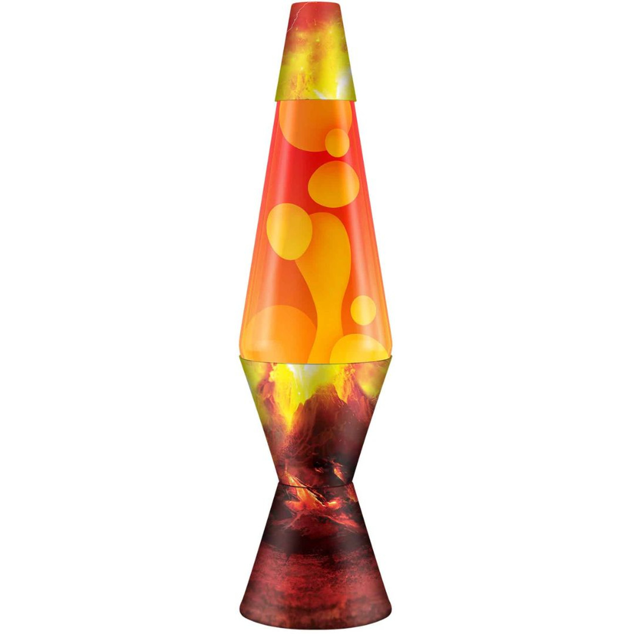
Estimating Magma Reservoir Conditions
Estimating magma reservoir conditions (e.g. temperature, water
content, melt fraction) using electrical conductivity and
petrological-thermodynamic models.
Earthquakes and Fluids in Costa Rica
Imaging subduction zone fluids and their relationship to
slow slip and earthquakes on the Nicoya Peninsula, Costa
Rica. In collaboration with the
Electromagnetic Geophysics Lab
at Georgia Tech
.
Education and Experience
BSc Geophysics (Hon), University of Calgary (2013)
PhD Geophysics, University of Alberta (2020)
Postdoctoral Fellow, Georgia Institute of Technology
(2022)
Postdoctoral Fellow, University of Alberta (2023-current)
Publications
Lee, B., Unsworth, M.J., Finley, T., Kong, W., Cordell, D., in
review. Electrically anisotropic structure of the Rocky
Mountain Trench near Valemount, British Columbia: Implications
for geothermal exploration: submitted to Canadian Journal of
Earth Sciences, Manuscript ID: CJES-2023-0086.
Cordell, D., Naif, S., Evans, R., Key, K., Constable, S.,
Shillington, D., Bécel, A., 2023. Forearc seismogenesis in a
weakly coupled subduction zone influenced by slab mantle fluids:
Nature Geoscience, v. 16, doi: 10.1038/s41561-023-01260-w.
Cordell, D., Naif, S., Troch, J., Huber, C., 2022.
Constraining magma reservoir conditions by integrating
thermodynamic petrological models and bulk resistivity from
magnetotellurics: Geochemistry, Geophysics, Geosystems, v.23,
doi:10.1029/2022GC010455.
Cordell, D., Hill, G., Bachmann, O., Moorkamp, M., Huber, C.,
2022. Estimating melt fraction in silicic systems using Bayesian
inversion of magnetotelluric data: Journal of Volcanology and
Geothermal Research, v.423,
doi:10.1016/j.jvolgeores.2022.107470.
Cordell, D., Unsworth, M.J., Lee, B., Hanneson, C., Milling, D.,
Mann, I.R., 2021. Estimating the geoelectric field and electric
power transmission line voltage during a geomagnetic storm in
Alberta, Canada using empirical magnetotelluric impedance data:
The influence of three-dimensional electrical structures in the
lithosphere: Space Weather, v.19, doi:10.1029/2021SW002803.
Slezak, K., Diaz, D., Araya-Vargas, J., Cordell, D.,
Reyes-Cordova, F., 2021. Magnetotelluric image of the Chilean
subduction zone in the Salar de Atacama region (23°S - 24°S):
insights into factors controlling the distribution of volcanic
arc magmatism: Physics of the Earth and Planetary Interiors,
v.318, doi:10.1016/j.pepi.2021.106765
Cordell, D., Unsworth, M.J., Lee, B., Diaz, D., Bennington,
N.L., Thurber, C.H., 2020. Integrating magnetotelluric and
seismic images of silicic magma systems: A case study from the
Laguna del Maule Volcanic Field, central Chile: Journal of
Geophysical Research Solid Earth, v.125, doi:10.129/2020JB020459
Lee, B., Unsworth, M.J., Arnason, K., Cordell, D., 2020. Imaging
the magmatic system beneath the Krafla geothermal field,
Iceland: A new 3-D electrical resistivity model from inversion
of magnetotelluric data: Geophysical Journal International,
v.220, doi:10.1093/gji/ggz427
Cordell, D., Unsworth, M.J., Diaz, D., Reyes-Wagner, V., Currie,
C., Hicks, S.P., 2019. Fluid and melt pathways in the central
Chilean subduction zone near the 2010 Maule earthquake
(35°S-36°S) as inferred from magnetotelluric data: Geochemistry,
Geophysics, Geosystems, v.20, doi:10.1029/2018GC008167
Wespestad, C.E., Thurber, C.H., Andersen, N.L., Singer, B.S.,
Cardona, C., Zeng, X., Bennington, N.L., Keranen, K., Peterson,
D.E., Cordell, D., Unsworth, M.J., Miller, C., Williams-Jones,
G., 2019. Magma reservoir below Laguna del Maule Volcanic Field,
Chile imaged with surface-wave tomography: Journal of
Geophysical Research: Solid Earth, v.124,
doi:10.1029/2018JB016485
Cordell, D., Unsworth, M.J., Diaz, D., 2018. Imaging the Laguna
del Maule Volcanic Field, central Chile using magnetotellurics:
Evidence for crustal melt regions laterally-offset from surface
vents and lava flows: Earth and Planetary Science Letters,
v.488, doi:10.1016/j.epsl.2018.01.007
Reyes-Wagner, V., Diaz, D., Cordell, D., Unsworth, M.J., 2017.
Regional electrical structure of the Andean subduction zone in
central Chile (35°-36°S) using magnetotellurics: Earth, Planets
and Space, v.69:142, doi:10.1186/s40623-017-0726-z
Comeau, M.J., Unsworth, M.J., Cordell, D., 2016. New constraints
on the magma distribution and composition beneath Volcan
Uturuncu and the southern Bolivian Altiplano from
magnetotelluric data: Geosphere, v.12, doi:10.1130/GES01277.1
mtcode is a MATLAB package for analyzing magnetotelluric data,
building and editing conductivity models, and preparing inversion
files
Available on GitHub

Frequently Asked Questions
What are "electromagnetic geophysical methods" and how do they
work?
Electromagnetic (EM) geophysical methods are a bunch of
different types of techniques used to image the electrical
conductivity underground. All electromagnetic geophysical
methods work on the same basic principle. A source (or
primary) electromagnetic (EM) wave propagates into the Earth
and induces a secondary EM wave in the Earth which
propagates back to the surface. At the surface, the total
field can be measured.
The way EM waves are induced in the ground is dependent
primarily
on
the electrical conductivity of the ground. Conductors induce
stronger currents in the ground than resistors. So the
fundamental property that we measure with EM methods is
electrical conductivity and this can be related to different
Earth materials because some materials (e.g. brine, magma,
copper) are extremely conductive compared to other materials
(e.g. dry granite).
What is "magnetotellurics"?
Magnetotellurics is a six-syllable mouthful which we usually
shorten to "MT" for short. MT is a specific EM geophysical
method which is different from the other methods because it
measures natural EM fields as a primary source. This allows it
to measure a very broad range of frequencies to image
conductors over a broad range of depths from the upper 10s of
meters to depths >100 km. However, its major limitation is
that it requires you to measure the magnetic field and the
electric field whereas other EM methods can get by measuring
only the magnetic field. Magnetic fields are relatively easy
to measure. Electric fields are more finicky, especially when
they are on the order of mV/km. For reference, your average
toaster produces an electric field on the order of 100 million
mV/km. So these are very, very, very weak electric fields
which we have to measure.
What is "space weather" and why is it hazardous?
Space weather describes phenomena related to perturbations of
the Earth's near-space environment, particularly the
geomagnetic field and ionosphere. Perturbations to the
geomagnetic field can be driven by various physical processes,
but most are related to changes in the solar wind. If there is
a large eruption of charged particles from the sun during a
solar flare (or "coronal mass ejection"), then these charged
particles hit the Earth's geomagnetic field and cause it to
bend and warp. At its most basic level, this is a changing
magnetic field and (from Maxwell's equations), a changing
magnetic field will induce a current inside a conductor. The
Earth is relatively conductive (compared to the vacuum of
space!) and so this "space weather" drives currents in the
ground. The reason this can be hazardous is because the
currents will preferentially flow into good conductors and
people have built really good conductors such as power
transmission lines and pipelines. Unwanted currents flowing
into the power grid are known as "geomagnetically induced
currents" (or GICs) and these can cause damage to electrical
infrastructure and even cause blackouts. The most well-known
disruption due to GIC occured in March 1989, when the entire
Hydro-Quebec network was taken offline for 6 hours.
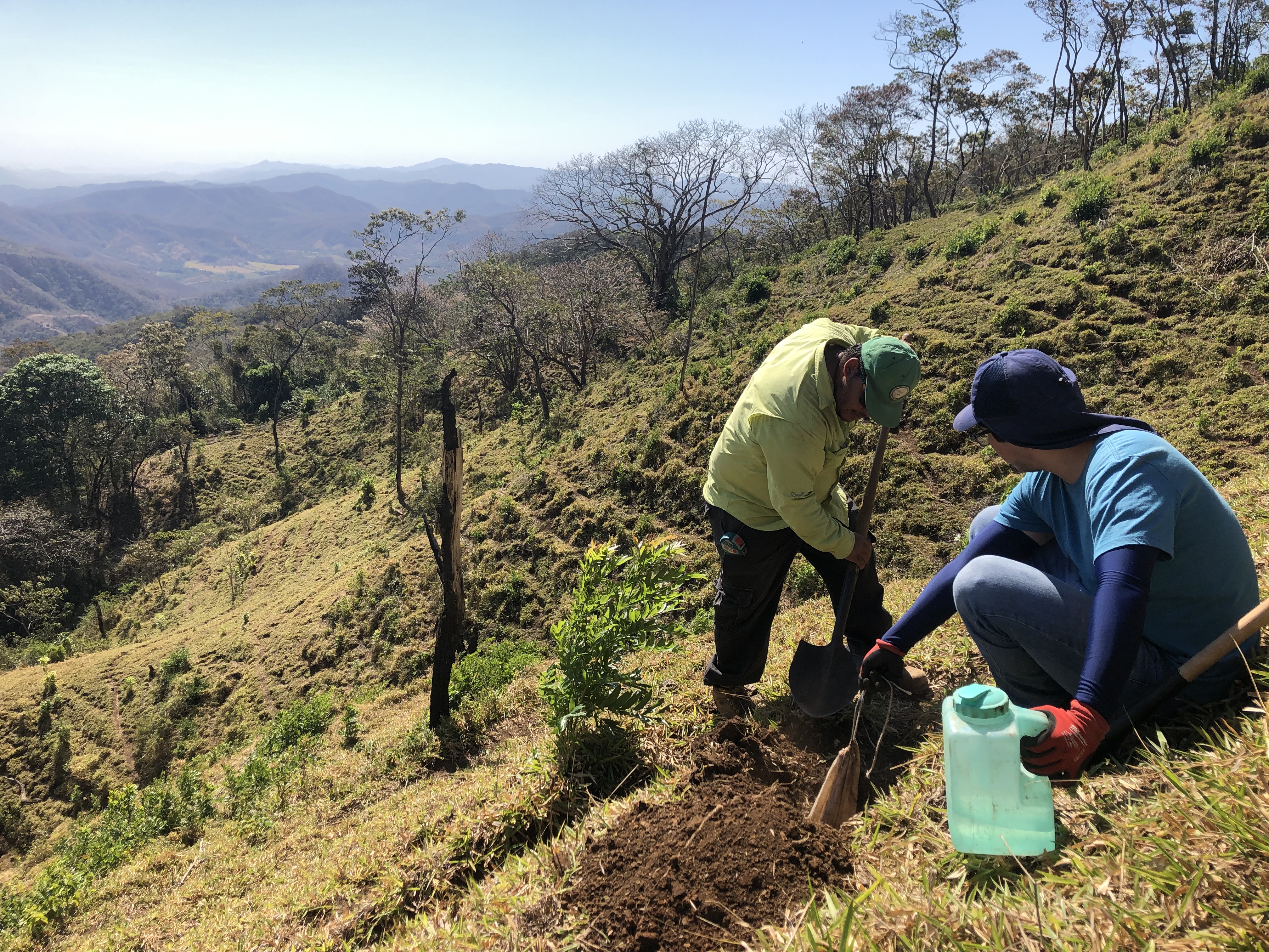
What do you do during field work?
Look for a good spot. Dig some holes. Repeat. Each MT site
location requires at least 5 holes to be dug: four electrodes
and either one hole for a fluxgate magnetometer, or 2-3 holes
for induction coil magnetometers. Electrodes are oriented in a
large 100 meter X, with one electrodes at the north, east,
south, and west directions. All the cables are connected to a
data logger at the center of the X. Each electrode pair
(north-south and east-west) records a voltage, which is
converted into an electric field value based on the distance
between electrodes (i.e. the electric field is just the
voltage divided by the distance). The electric field and
magnetic field are recorded simultaneously by the data logger
usually with sample rates anywhere between 8 Hz to 1500 Hz. We
leave the sites to record for anywhere from 1 day to 1 month,
depending on the geological target. We then return to the
site, and remove all the equipment. Every project is
different. If it is a regional project, then a lot of time can
be spent driving, talking to landowners, and getting
permissions. If it is a local project, then more sites can be
installed more quickly.