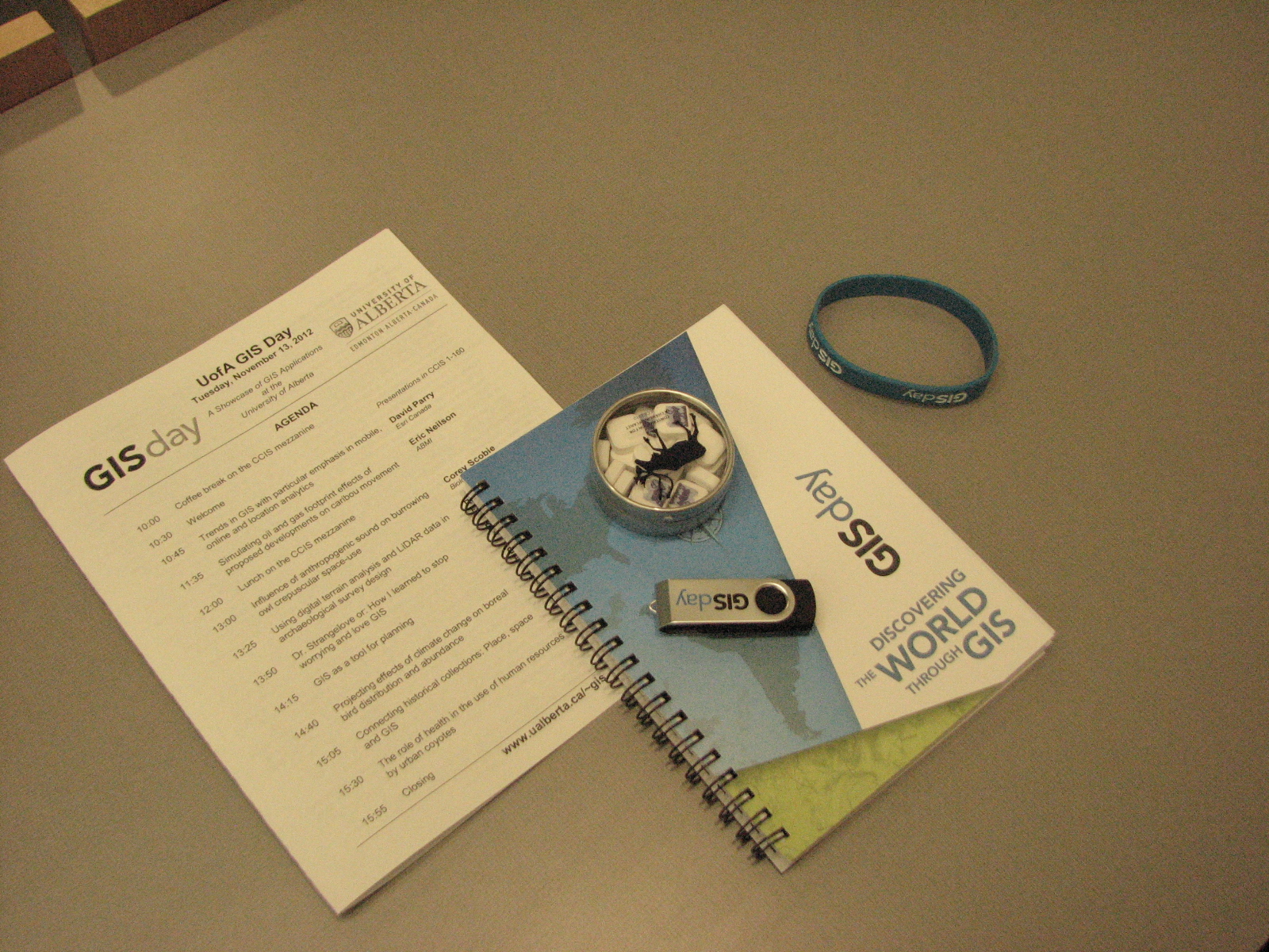
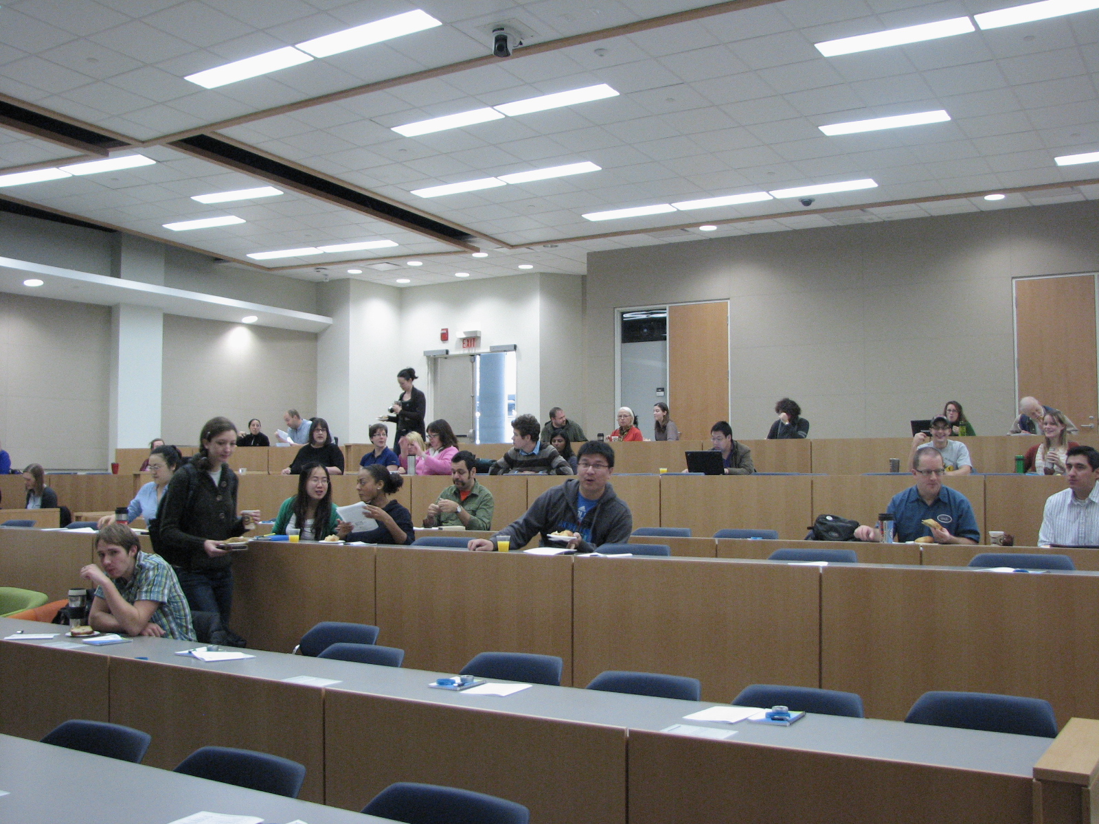
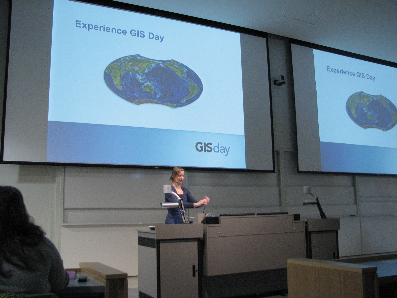
- Welcome
(links to useful resources shared by Charlene Nielsen)
- David
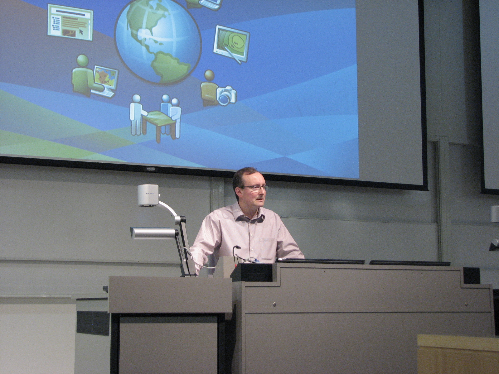
Parry, Esri Canada, Online and Mobile
- Eric
Neilson, ABMI, Biodiversity and Development
- Corey
Scobie, Biological Sciences, Wildlife and Development
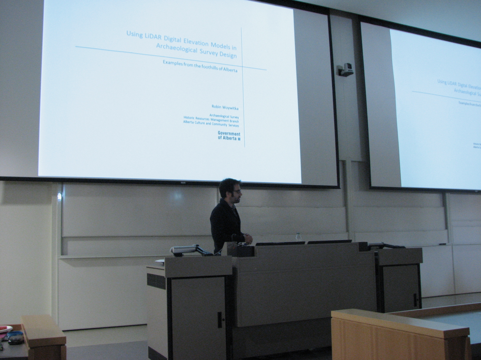
- Robin
Woywitka, Earth and Atmospheric Sciences, Archaeology
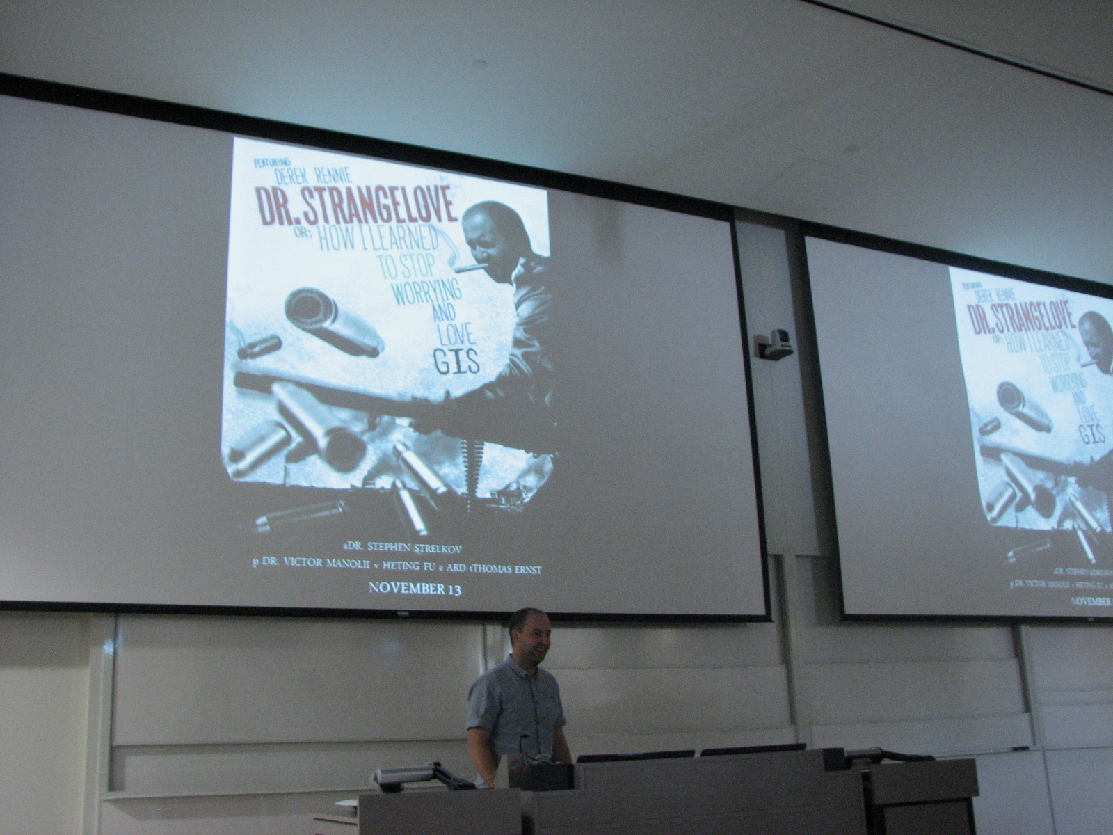
- Derek
Rennie, Agricultural, Food and Nutritional Science,
Agriculture
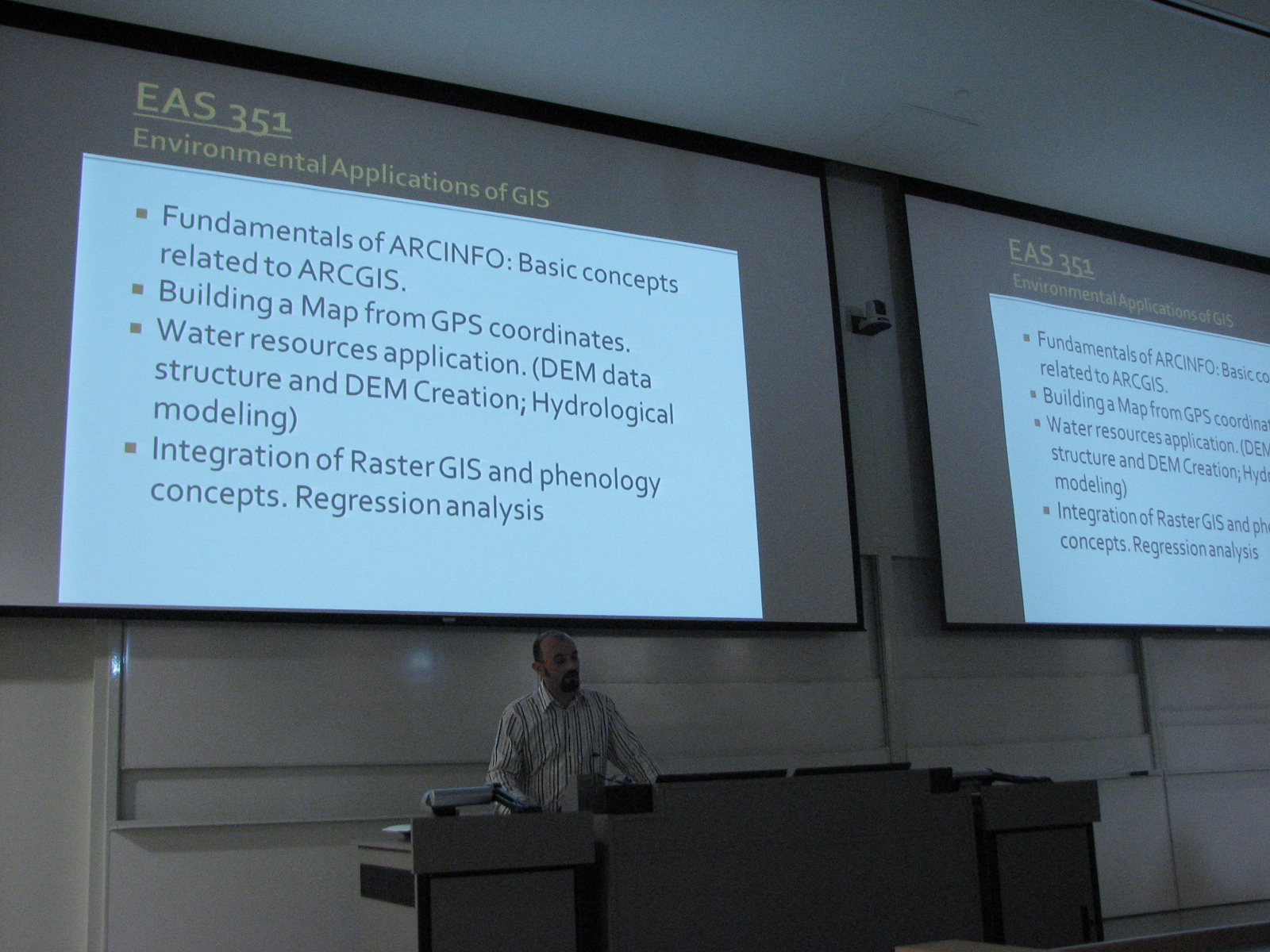
- Sinisa
Vukicevic, Earth and Atmospheric Sciences, Planning
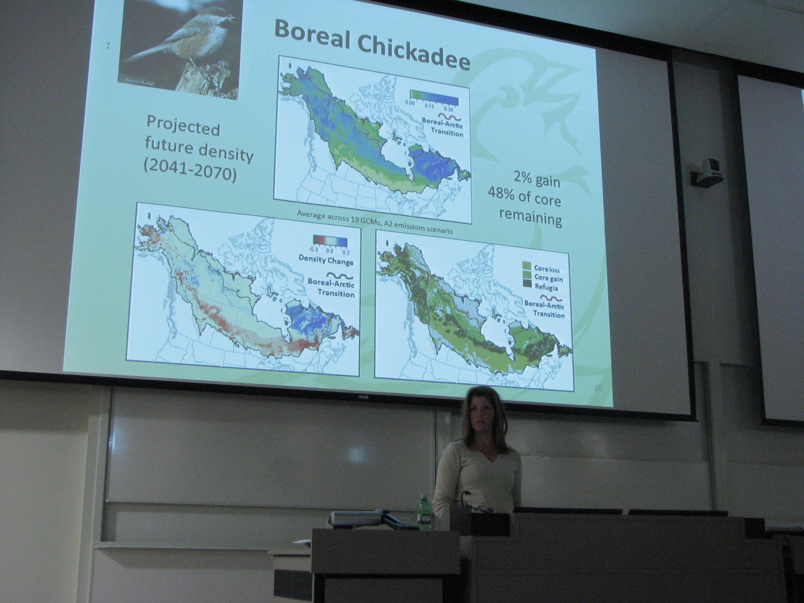
- Diana
Stralberg, Biological Sciences, Wildlife and Climate
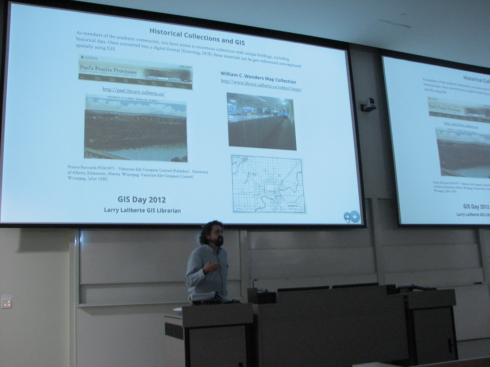
- Larry
Laliberté, Libraries, Historical Collections
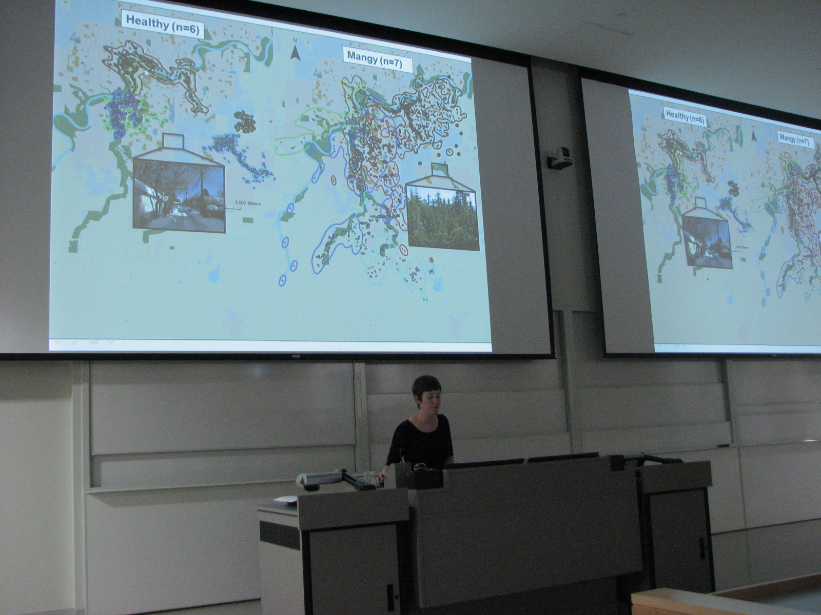
- Maureen
Murray, Biological Sciences, Urban Wildlife
See you
again next year!
|
Click
here for the
2012 program
Copies
of each talk are available by clicking the names to the left
|