Introduction
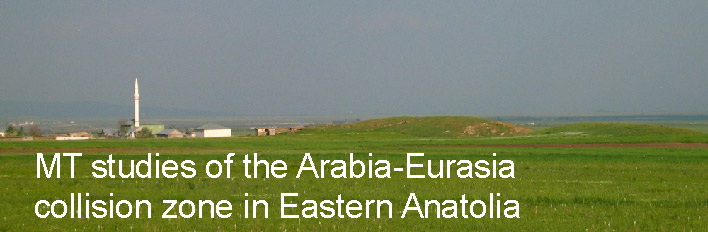
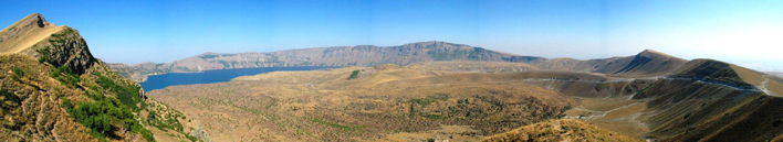
The collision between the Arabian and Eurasian plates in Eastern Turkey has produced the 2 km high Anatolian-Iranian Plateau. This is the second largest plateau in the Alpine Himalayan belt, after the Tibetan Plateau. Some features of this collision are similar to Tibet, however Eastern Anatolia is characterized by extensive volcanism over the last 10 Ma. This includes the Nemrut Golu caldera shown below.
From 1999-2001 the Eastern Turkey Seismic Experiment operated a passive seismic network in Eastern Anatolia and gave new insights into the regional structure. This conformed the prescence of a thin (non-existent) mantle lid and the prescence of a shallow asthenosphere.
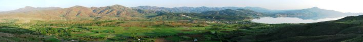
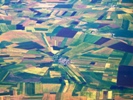
The collision in Eastern Turkey is partially accommodated by the Westward motion of the Anatolia Block along the North Anatolian Fault (NAF) and East Anatolian Fault (EAF). At Hazar Golu (shown below) the EAF has formed a pull apart basin that forms the lake. In 2005 a broadband MT profile was recorded across the EAF at this location and a sub vertical fault-zone conductor (FZC) was detected in the crust.

2005 Magnetotelluric survey
In collaboration with Prof. Ilyas Caglar at Istanbul Technical University, a large MT data set was collected in 2005. Both long-period and broadband MT data were collected on profiles that extended from the Black Sea to the Syrian border. The 2005 MT stations are shown on the map below as red dots (long period MT) and black dots (broadband MT). Further details described by Turkoglu et al.,(2008) .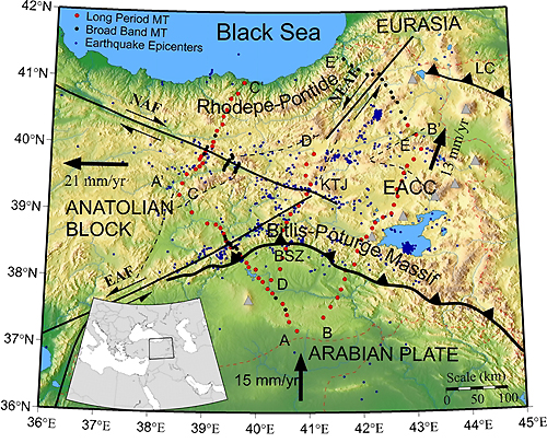
 2005 station locations in KML format for GoogleEarth
Published papers
- Turkoglu E, MJ Unsworth, I Caglar, V Tuncer, U Avsar, Lithospheric structure of the Arabia-Eurasia collision zone in Eastern Anatolia from magnetotelluric exploration : evidence for widespread weakening by fluids, Geology, 36 (8), 619-622, 2008 (PDF)
- Avsar ‹, E T¸rkoglu, MJ Unsworth, I «aglar, B Kaypak, Geophysical images of the North Anatolian Fault in the Erzincan Basin, Eastern Turkey and their tectonic implications, Pure and Applied Geophysics, 409-431, 170, doi 10.1007/s00024-012-0521-5, 2012 (PDF)
Other links
- Paper on Eastern Anatolia from MantlePlumes.org by Mehmet Keskin at Istanbul University
- Turkish newspaper articles about this project from 2005.
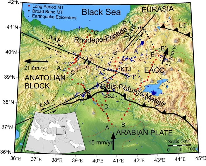
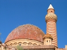
Photographs of Eastern Anatolia
 |
 |
 |
 |
 |
| Eastern Anatolia | Lake Van | Ani | Diyarbakir | Earthquakes |
Back to the Tectonics research page