Smart Vehicles, Dumb Roads
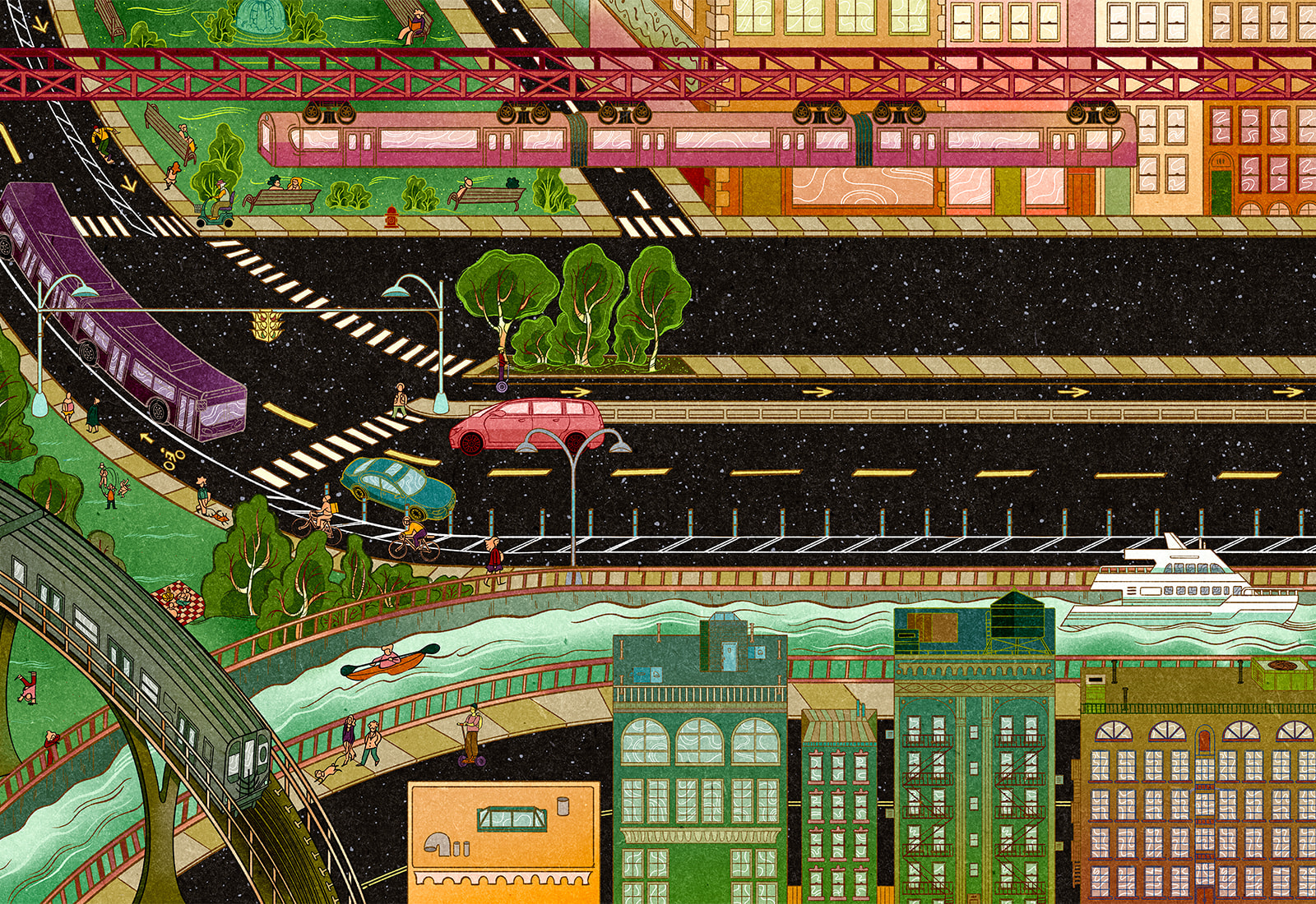
The history of autonomous cars goes back to 1925, when New York’s “Fifth Avenue was given a new thrill … when a large automobile with no one at the steering wheel zigzagged through heavy traffic on the avenue,” as a newspaper put it at the time.
That vehicle’s radio-controlled driving system would seem primitive next to the technology that powers today’s self-driving cars. And yet, a century later, the dream of improving road safety by removing human error remains mostly unrealized.
Why? One reason could be that a focus on individual cars limits the scope of what can be achieved.
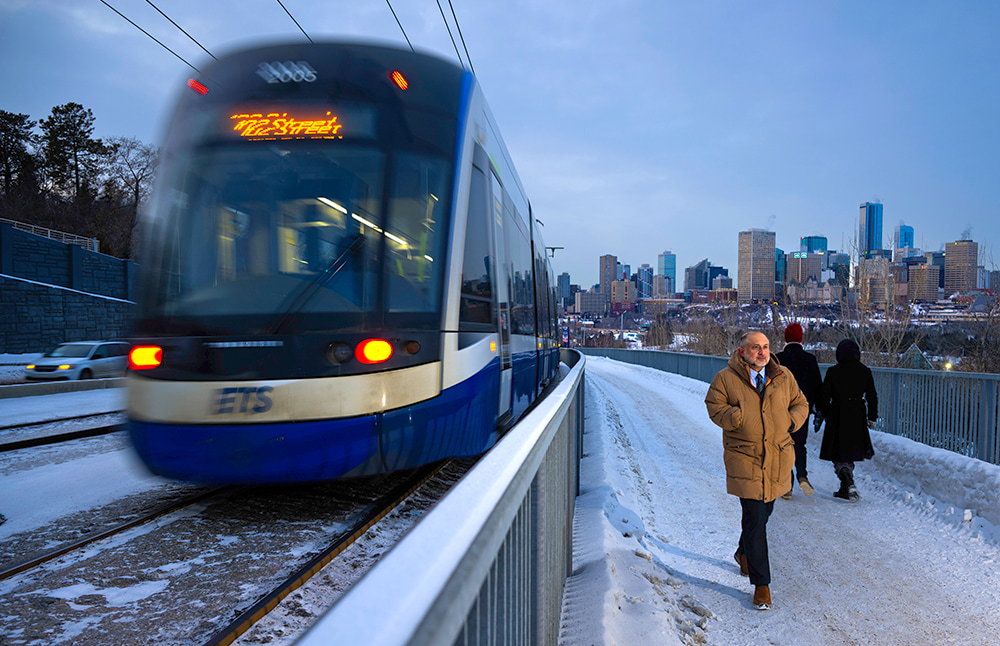
As Haider puts it, “Right now we have vehicles that are smart and roads that are dumb. That’s a marriage that’s not going to work.”
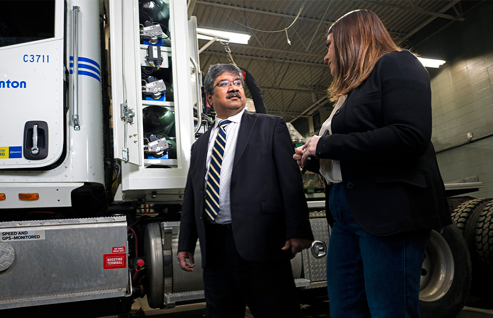
Transportation researchers at the U of A are investigating how to make this marriage more harmonious to make getting around a matter of greater ease. “Road safety gains could be substantial if deployment of autonomous systems prevents human error,” says Karim El-Basyouny, a U of A engineering professor.
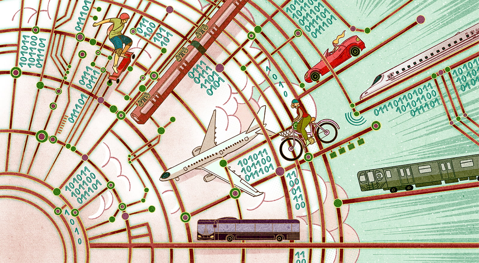
He envisions connecting entire transportation systems with real-time data and analytics to make transportation safer, more efficient and less stressful.
Most of El-Basyouny’s research focuses on using remote sensing technologies such as LiDAR to map, monitor and analyze transportation infrastructure. LiDAR in this context can do a job similar to image processing of video footage from traffic cameras, with two key differences. The first is that LiDAR is much easier to deploy over a wide area.
The second, says El-Basyouny, is that “from a privacy standpoint, it’s much better.” While LiDAR can detect the presence of people and objects, it does not capture identifying visual details, which helps mitigate privacy concerns associated with large-scale data collection. “I can’t meaningfully distinguish or identify individuals using LiDAR alone,” he explains.
Modelling techniques developed by El-Basyouny and his team make it possible to imagine citywide transportation systems built, in part, using LiDAR sensors in vehicles and on roads providing a “digital replica of our existing infrastructure,” he says.
In addition to LiDAR, the information would come from other sensors in vehicles, on streetlights and in the road itself. And there would be gobs of it.
“We could not reasonably analyze it using traditional statistical methods because of the scale and complexity of the data,” says El-Basyouny. “We would need to rely on AI-based techniques to extract patterns and make sense of it.” Such a system, he explains, could enable vehicles to share information with one another, as well as with pedestrians and infrastructure, helping co-ordinate movement in ways that improve safety and efficiency.
“A citywide intelligent transportation system could offer substantial benefits,” he says. In general, the effectiveness of such systems improves as they ingest larger and more diverse data sets. One unresolved challenge, however, is how to collect that data at scale across road networks.
“Drones are a significant opportunity here,” says El-Basyouny. “They are relatively easy to deploy and provide a higher-level perspective than fixed streetlight cameras.” He notes that drones could support infrastructure inspections, traffic volume measurement and certain enforcement applications. “But without a major advance in battery technology, flight time will remain a serious limitation,” he adds. “We need them to stay airborne for much longer to be truly effective.”