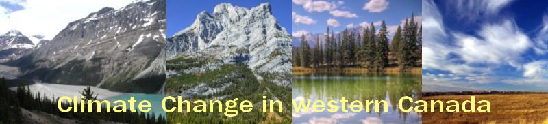
Background
High latitudes of the northern hemisphere have had a higher than average rate of warming in the last few decades. The arctic (latitudes greater than 60 degrees N) will have warmed by about 3.2 - 4.5 degrees-Celcius at the time of a 2 degree-Celcius global warming from present conditions. Information from the Intergovernmental Panel on Climate Change-IPCC and from Canada's Climate Impact studies shows that Canada being a high latitude country, will face warming that is twice the global rate. Although a gradual increase in temperature could bring some benefit to Canada, particularly in the colder higher latitudes and altitudes, it is also likely to bring several challenges such as increased frequency of forest fires, incidence of pests and diseases. The recent Mountain Pine Beetle outbreak in parts of Britsh Columbia and Alberta has been partly atttributed to an increase in overall minimum temperatures in the region.
Resource managers are presently interested in knowing how natural systems and species will respond to predicted changes in climate. Knowledge of how ecosystems will adapt is key. Adaptation refers to processes or activities that minimize the negative impacts of climate change and position the resource manager to take advantage of new opportunities that may be presented. The goal of adaptation is to enhance the capacity of a system to adjust to climate change.
Applying climate data in resource management requires matching the spatial scales of climate and resource databases. However, the network of weather measurements in western Canada is sparse and in most cases, climate records have not been taken near locations of interest. This provides the need to predict climate data by interpolation. Several interpolation methods have been used to estimte climate data in wesern canada.
Objectives
This study was aimed at evaluating a new interpolation technique and describing the climate change trends in western canada as well as perform a present and future climate characterisation of Canada's terrestrial ecozones represented in western Canada.
The study is focused on the Yukon Territory, British Columbia, Alberta, Saskatchewan and Manitoba provinces, stretching from the Prairies in the south to the Pacific coast and the Arctic in the north. A description of Canada's terrestial ecozones represented in the study area has been provided elsewhere >>> Ecozones
The study uses both observed climate data from weather station in western Canada as well as interpolated climate data. A detailed description of climate data used in the study is provided elsewhere>>> Climate data
|