A new way to plan for wildfire is moving in the right direction, thanks to University of Alberta researchers.
A fast, easy method to map possible wildfire pathways into a community has been developed by the U of A’s Wildfire Analytics Team.
The method assesses the directional vulnerabilities a community has to wildfire.
“It tells us which direction we can expect a wildfire to come from, by identifying any continuous pathways for a fire to travel along,” says team leader Jen Beverly, a professor of wildland fire in the Faculty of Agricultural, Life & Environmental Sciences.
That piece of information can be vital, she added, noting that the disastrous wildfires that devastated the communities of Lytton in 2020, Fort McMurray in 2016 and Slave Lake in 2011, all driven by wind, burned along a trajectory.
The new risk assessment method is based on the amount of hazardous vegetation a location is exposed to, and the pattern of highly exposed areas across the landscape that could fuel and blaze a trail into populated areas.
The new tool builds on a landscape exposure metric the team has already developed, which consists of a color-coded, basic heat map to visualize the most fire-prone parts of the landscape. By adding the directionality component to community locations on the heat map, “we know not just where the fires can get to, but any high-exposure pathways into a community,” Beverly says.
The researchers studied 913 small or moderate-sized Alberta communities and their surrounding landscapes to assess directional vulnerabilities to wildfire. From those analyses, they built the simple, standardized method that any community and forest management area can use to gauge the risk, she says.
The tool can help communities and fire authorities pre-plan evacuation routes, prioritize where to deploy their crews and proactively reduce fire fuel by thinning tree stands and creating firebreaks along the most high-risk pathways.
“It’s giving the decision makers one more piece of information they can use to plan for fire.”

Examples of directional vulnerability assessments for two communities in Alberta. The shaded areas show possible fire pathways into the community from a given direction. The red, orange and yellow colours show the distances from the community in three five-kilometre bands going out 15 kilometres.
The method is user-friendly, making it valuable in crisis situations, she adds.
“The graphs used are simple and can be done in advance, so when high-pressure decisions need to be made, they can provide quick information about the vulnerability of communities.”
It’s also faster and less expensive than approaches based on complex statistical analysis or machine learning, she adds.
“It's a relatively cost-effective, accessible and practical tool that can be used even by smaller communities with limited resources to plan for fire. A lot of the more complex modelling would require hiring consultants, would be lengthy and won’t necessarily generate any better insight about wildfire vulnerabilities.”
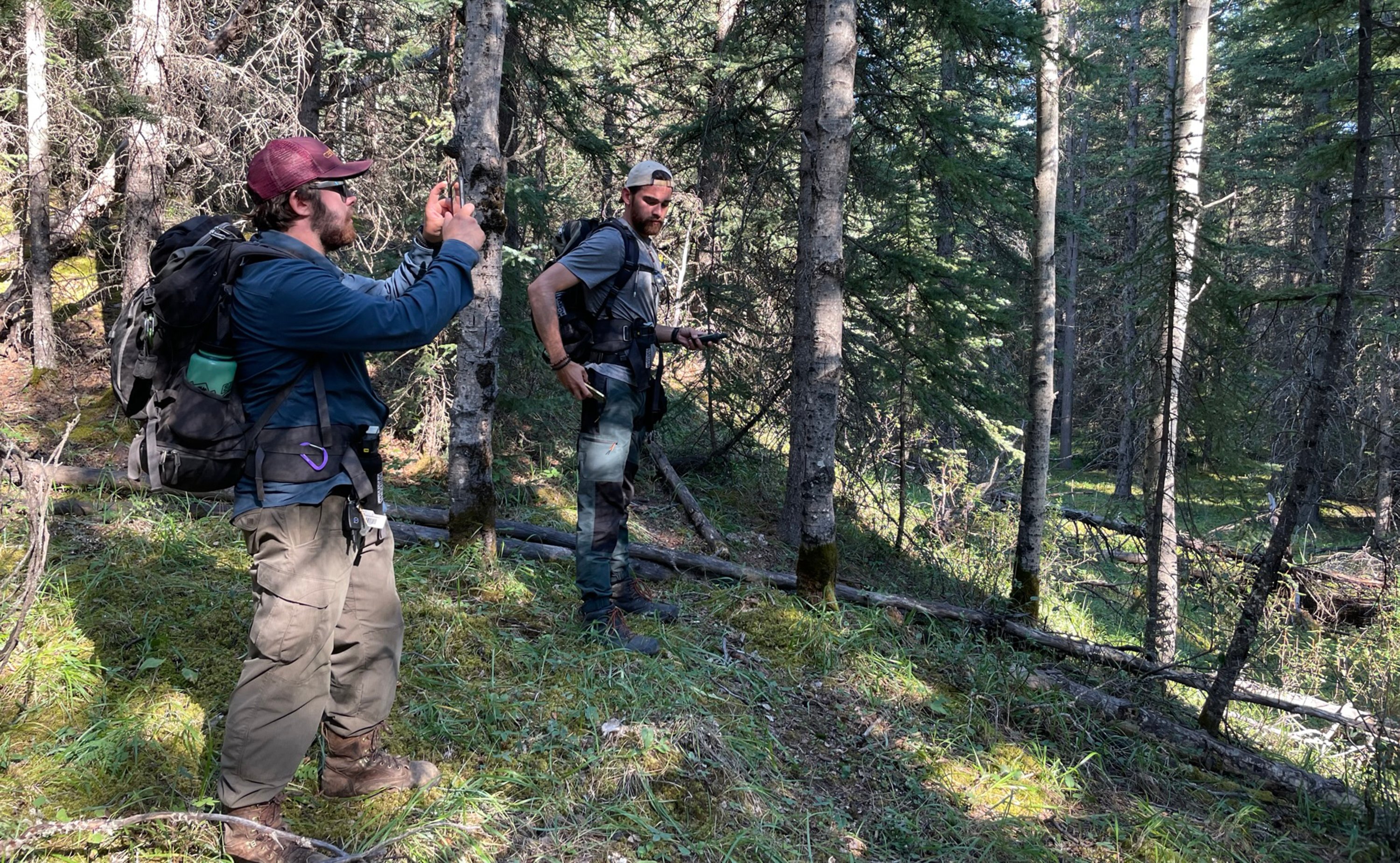
The assessment method is now being tested in case studies this summer in communities across Alberta and British Columbia to determine how it can be included in their fire planning and evacuation practices.
“We really want people using this tool, because it can quickly reveal which communities and neighbourhoods are vulnerable to wildfire and it does that in a way that’s really easy to understand, which we hope will empower communities to take action to protect themselves.”
The study was funded by the Institute for Catastrophic Loss Reduction and the National Research Council Canada.