Data preparation
From Argos files to clean location data
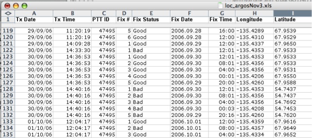
Partial locations received by email from the Argos satellites come in an unusable format that needs to be converted with Telonics Argos Data Converter software (Telonics, Mesa, Arizona). What we get is something like that:
Of all the locations received, there are many duplicates, some wrong locations (as indicated by the fix status "bad" in the database), and outliers that are marked as good by the satellites, but that are in fact erroneous location. To get a complete accurate database of animal locations, the following steps were followed:
1. Merge date and time columns into one field, so that we can identify times where many animals were located simultaneously, which is important for our study of dynamic interactions.
2. Convert latitude / longitude data in UTM, which is necessary for the animal movement extension (Hawke’s tools) used to study home ranges and habitat selection.
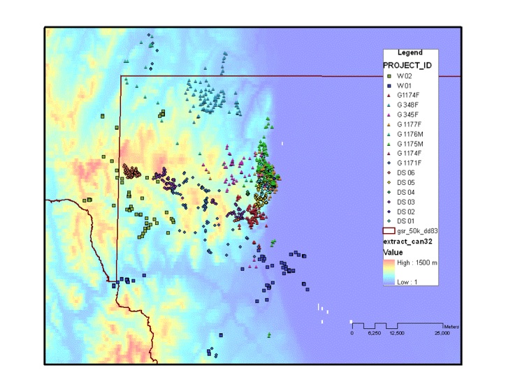
The data was then plotted on a GIS interface, and any obvious outliers were removed from the database. After skimming the data, there were 2,266 observations remaining (initial set was 2,530 locations):
Data Autocorrelation
When analyzing animal locations at the home range or resource selection level, most methods require that the locations are independent one from another (Manly et al. 2002). To satisfy this assumption, I randomly selected one location per day per animal, on the basis that most individuals can cover a significant portion of their home range within 24 hours. This filter on my original dataset led me with 650 locations used for home range and resource selection analysis.

Preparing habitat layers
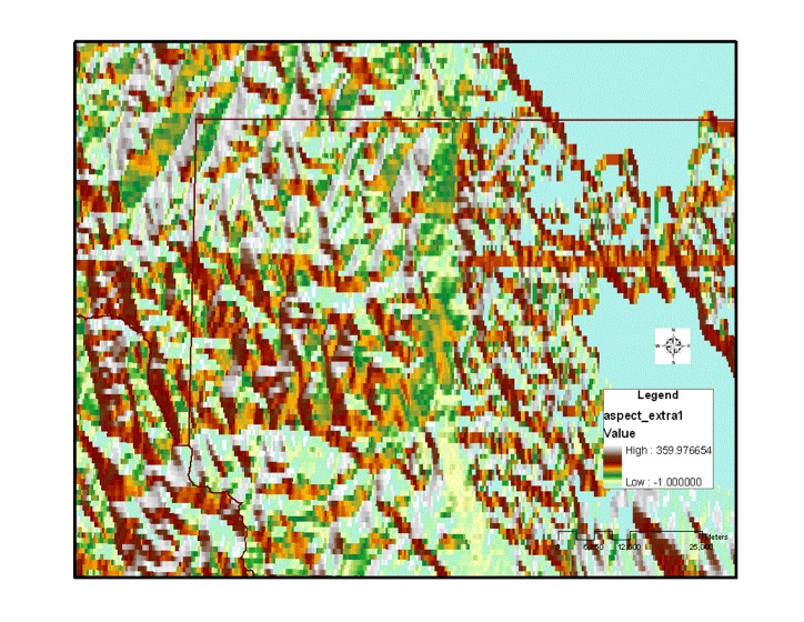
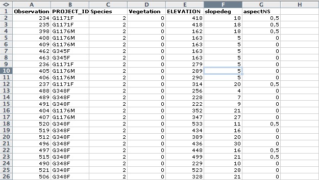
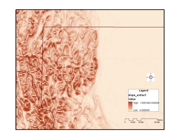
The next step involved the preparation of habitat layer to evaluate habitat use by the collared individuals. I did (1) a vegetation layer, which was incorporated binary data (0, 1) for raster where there are trees in; (2) a contour layer, based on the DEM Can30, (3) a slope layer, also from DEM, which I had to rescale to values between 0 and 90 degrees; and (4) an aspect layer, for which I converted the 1-360 degrees values to a gradient between 0 and 1, where 1 is North and 0 is South.
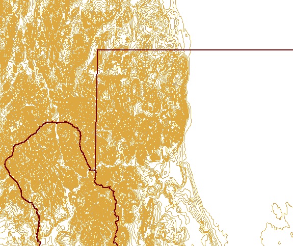
Streams and vegetation layer:

Contour layer:
Slope layer:
Aspect layer: