Sharp and his fellow scientists are examining how changes in glacier flow affect not only sea level and iceberg production in the Arctic, but also natural hazards, and impacts on infrastructure and the ecology of critical headwater streams, glacier-fed lakes, and fjords at lower latitudes.
For the first time, scientists have mapped how fast all the glaciers in Western Canada, from Yukon, to British Columbia, to Alberta are flowing. This is the conclusion of a 13-year effort to determine how fast every glacier in Canada is flowing and whether the rate at which the glaciers flow changes over time. The results reveal surprising findings about the behavior of these iconic masses of ice.
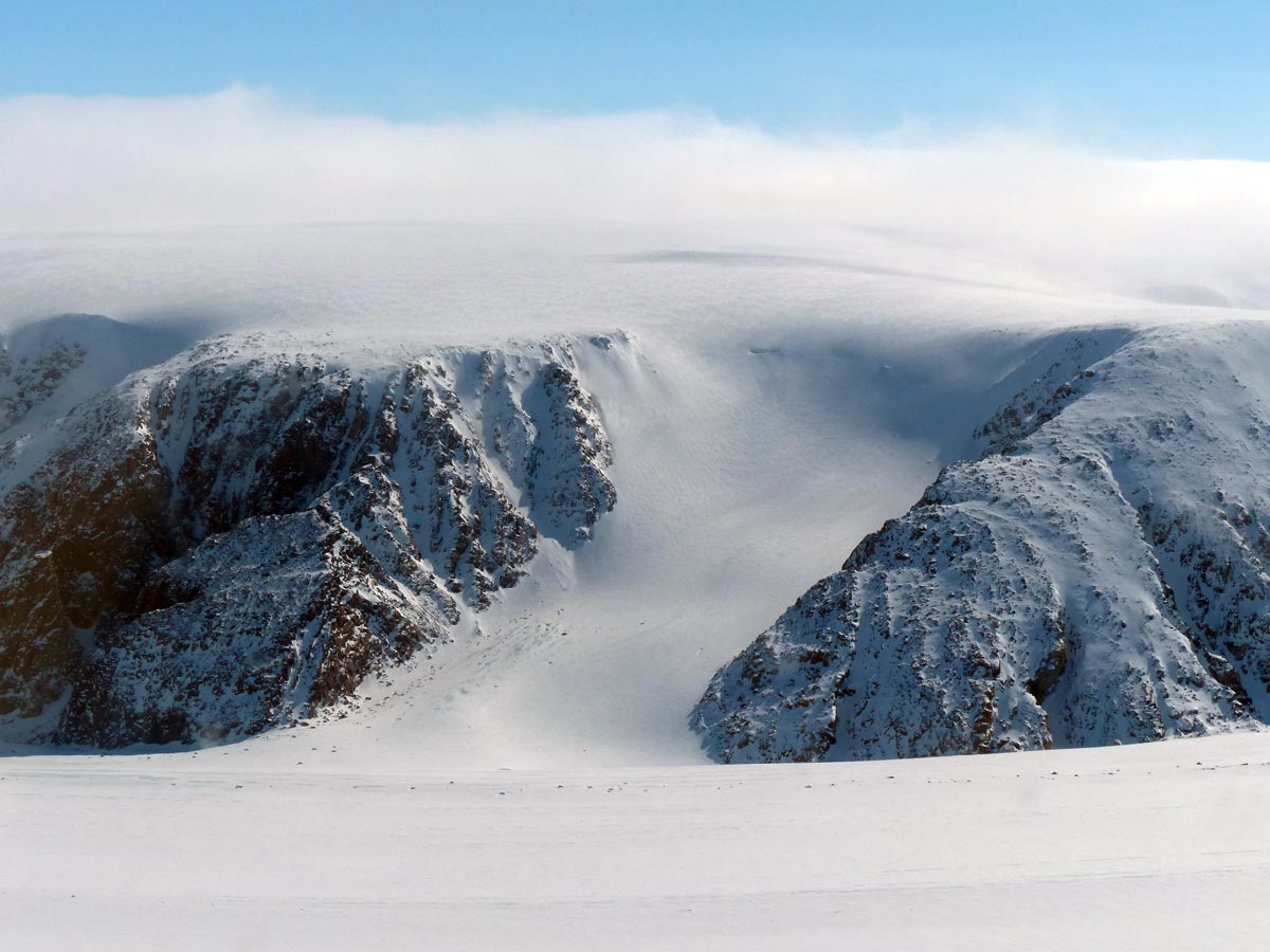
"In the Arctic, many of the glaciers terminate in the ocean, and they lose mass by melting at their surfaces, melting of the part of their terminal ice cliffs which lies below sea level, and by calving icebergs into the ocean. All three processes transfer water to the ocean and affect global sea level," said Martin Sharp, UAlberta professor and glaciologist. At lower latitudes, fewer glaciers reach the ocean and most lose mass mainly by surface melting.
"For the glaciers that produce icebergs, if we can gauge the thickness of the glacier and know how fast it is flowing near its terminus, and whether its terminus is advancing or retreating, we can work out what the iceberg flux is. This is an important part of the overall change in mass of those ice masses and may not be related to climate change in any simple way."
Sharp explained that the picture he and his fellow scientists are trying to paint includes how changes in glacier flow affect not only sea level and iceberg production in the Arctic, but also natural hazards, and impacts on infrastructure and the ecology of critical headwater streams, glacier-fed lakes, and fjords at lower latitudes.
Surging ahead
"For Western Canada, our main question is whether the velocities of glaciers are stable or changing over time. There is a type of behavior we call surging, where the glacier-which has been flowing slowly for a long period of time-suddenly goes nuts and starts flowing up to an order of magnitude faster than before," explained Sharp. "You then get a mass of ice traveling very rapidly down the glacier, probably because of the build-up of water trapped beneath the glacier, on which the glacier effectively floats."
This can result in flooding and all sorts of damage to infrastructure when the stored water eventually escapes from the glacier. The escaping water tends to be highly charged with fine sediment that was eroded from the glacier bed during the period of fast flow. The sudden input of this sediment into the glacier-fed streams can affect everything from downstream water temperatures to fish ecology and rates of sedimentation in proglacial lakes and even reservoirs. "This is important in Western Canada, where we have fisheries and infrastructure close to glaciers," said Sharp.
"This is important in Western Canada, where we have fisheries and infrastructure close to glaciers." -Martin Sharp
Sharp explained that the scientists are trying to understand whether these surges and other less dramatic changes in glacier velocity are a direct response to changes in climate or a result of dynamic instabilities in the ice. A multi-temporal mapping approach is allowing them to identify which glaciers pose the most risk from a hazards perspective. "The technology has developed so much that we can now map the flow rates of the entire Canadian ice cover, providing the possibility of routine monitoring to track exactly where and when rates of flow are changing," he said.
Sharp, who has been studying the ice dynamics of glaciers in Canada since the early 90s, noted there have been big changes in the approach used to do this. Thanks to the open availability of many satellite radar and optical remote sensing datasets, scientists are now able to automate the mapping and monitoring of large glaciated areas to provide a more holistic perspective on changing glacier behavior. This is a big change from only a few decades ago, when scientists relied on manual mapping from sporadically acquired data, or on results from laborious optical surveying or GPS measurements, and had to make inferences about glacier flow processes from very limited datasets.
"Because we now have regular data streams, we can start to see events that probably went largely unnoticed in the past. While not all glaciers have very variable flow rates, a surprising number do. We now see there's a much bigger spectrum of flow variability than we used to think, even though we don't necessarily understand exactly what's driving it at this point."
The nearly 15-year collaboration-representing scientists from the Universities of Alberta, Ottawa (Wesley van Wychen and Luke Copland), Lethbridge (Hester Jiskoot), and Natural Resources Canada (David Burgess and Laurence Gray)-combined datasets from both optical and radar-based remote sensing present a fuller picture of change in the ice and how it potentially affects everything from sea level to infrastructure and ecology. These results represent the conclusion in a series of six research papers that address the flow of all of the ice masses in Canada with a focus on the High Arctic, where there is the most ice.
"Surface Velocities of Glaciers in Western Canada from Speckle-Tracking of ALOS PALSAR and RADARSAT-2 data," was published in the latest issue of the Canadian Journal of Remote Sensing.