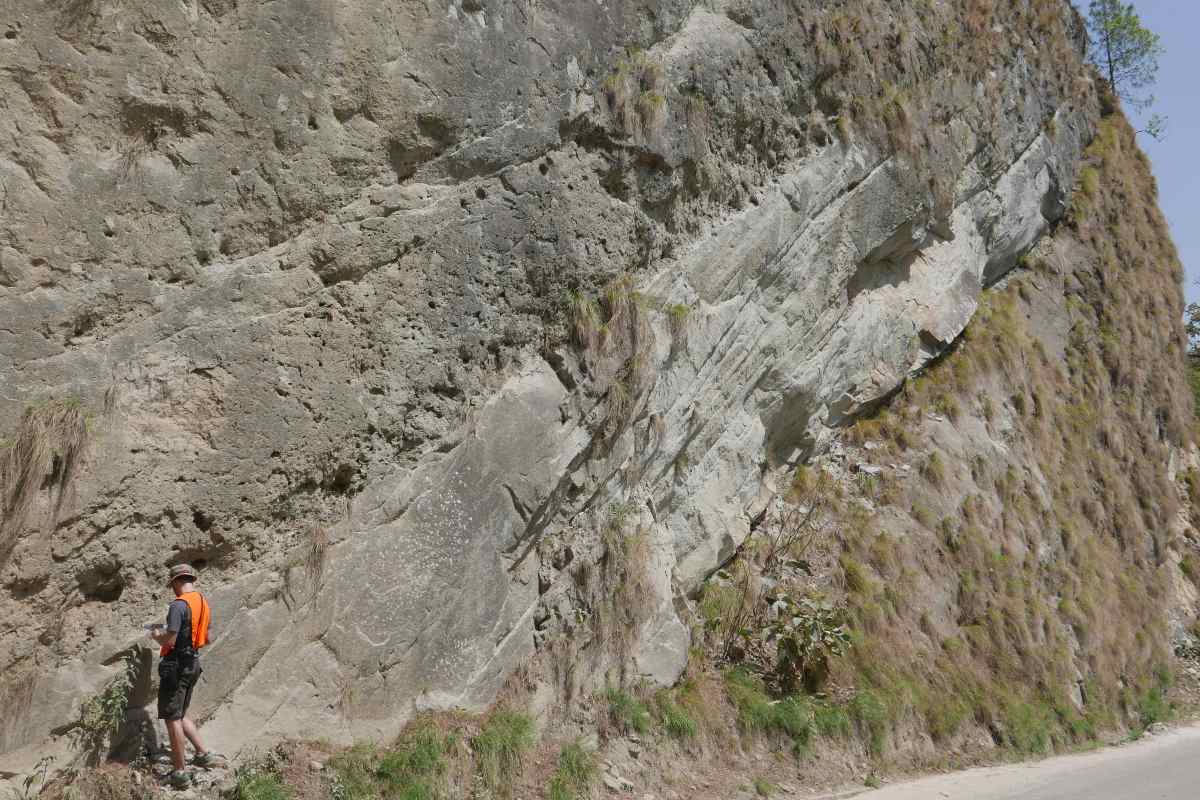
Graduate student Mike Duvall is pictured here in southeastern Nepal during fieldwork in 2017. Image credit: John Waldron
A newly identified fault system in Southeastern Nepal has the potential to cause earthquakes in a densely populated area, according to new research by graduate student Mike Duvall and his supervisor at the University of Alberta, in collaboration with an international team of scientists.
“We discovered a series of faults at the foot of the Himalayan mountain range that have never been seen before,” explained John Waldron, professor in the Department of Earth and Atmospheric Sciences and Duvall’s supervisor. “These faults indicate that the front of movement in the Himilayan mountain belt is not at the foot of the mountains as previously thought but rather 40 kilometres south in the Ganga Plain, which is being pushed southward by the Himalaya.”
For more than 100 million years, the Indian subcontinent has been drifting northwards. In the last 40 or 50 million years, the subcontinent started to collide with Asia. In the course of that collision, the Himalaya, the largest mountain range in the world, has been built where the two continents collided. India is still sliding northwards into Asia at a rate of nearly two centimetres per year—plates move about as fast as your fingernails grow, Waldron noted.
“Along the front of the mountains in Nepal are thrust faults, formed where the Indian subcontinent is being pushed underneath Asia” said Waldron. “The movement is jerky, which produces earthquakes. Because this is a densely populated part of the world, these earthquakes can be catastrophic.”
In 2015, a serious earthquake in Kathmandu, Nepal with a magnitude of 7.8, destroyed hundreds of thousands of homes, killing nearly 9,000 people and injuring more than 20,000. While the newly identified faults are not in the city of Kathmandu, the southeastern portion of Nepal is densely populated.
“Our research highlights the need to look below the surface, and farther afield, to fully understand earthquakes and structures within the Himalaya,” said Duvall. “This network of faults shows that Himalayan deformation reaches farther than we previously thought and provides a glimpse into the geometry and formation of nascent mountain ranges.”
The research team used seismic profiles—images that look like slices through the top few kilometres of the Earth’s crust. These were originally collected during petroleum exploration, by recording sound waves bounced off sedimentary layers buried beneath the Ganga plain. This is the flood-plain of the Ganges River, which carries much of the sediment eroded from the Himalaya. The data show that while southeastern Nepal is currently nearly flat, the thrusting produced by movement of the tectonic plates has already reached this area.
“While there have not been any earthquakes recorded in the area in the area since accurate scientific records began about a century ago, our results do suggest the potential for earthquakes,” added Waldron. “Most of these faults only slip every thousand years or so. We have now discovered that a substantial part of this area has an almost horizontal fault underneath it, which has the potential to slip and cause a damaging earthquake.”
The research suggests an important avenue for future research among seismologists to better understand this newly identified hazard in the Himalaya.
Collaborators on this research include Laurent Godin from Queen’s University and Yani Najman from Lancaster University.
The paper, “Active strike-slip faults and an outer frontal thrust in the Himalayan foreland basin,” was published in Proceedings of the National Academy of Sciences (PNAS).