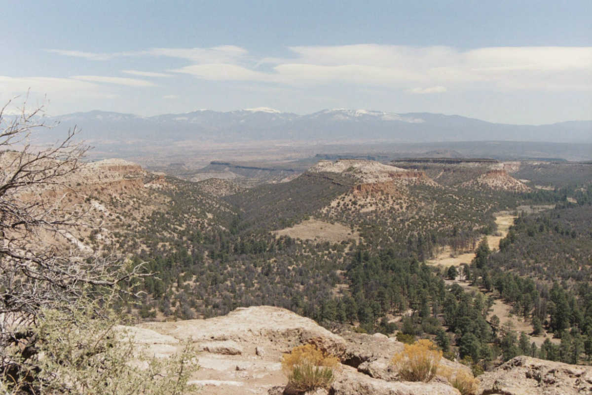
The Sangre de Cristo Range in the Southern Rocky Mountains. Image courtesy of Jolante van Wijk, New Mexico Institute of Mining and Technology.
The Laramide mountain-building event in the western United States has puzzled scientists for decades. Now, a new model built in part by a University of Alberta geophysicist reveals how the Southern and Central Rocky Mountains were formed: through a process called flat-slab subduction.
Claire Currie, associate professor in the Department of Physics and co-author on the study, developed a model of the flat-slab subduction process, illustrating the unique Laramide event that occurred 80 to 50 million years ago. Prior to the Laramide event, volcanism and mountain-building were confined to the coastal region, as the Farallon Plate descended steeply below the North American continent-a process known as subduction.
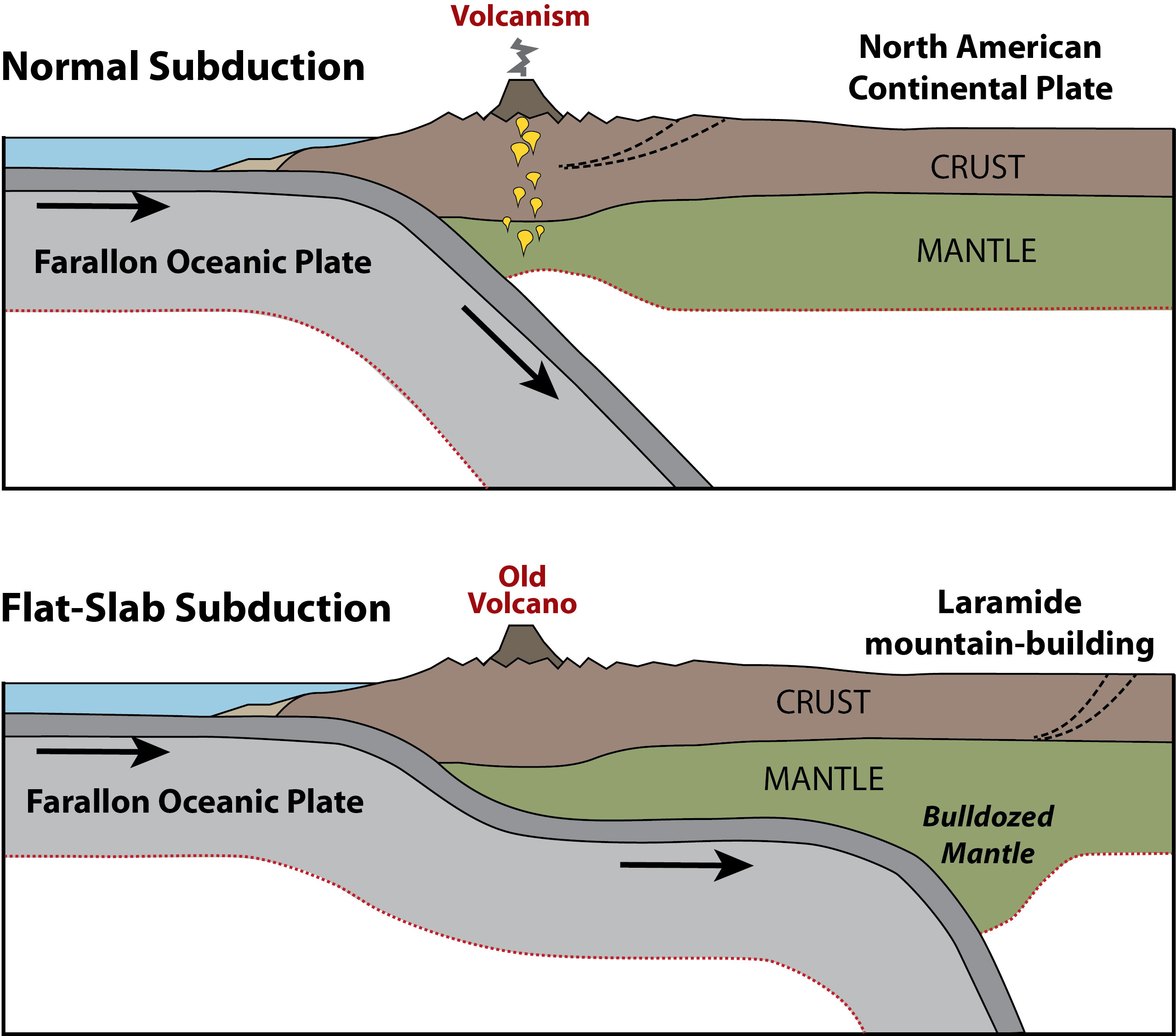
A visualization of the process of flat-slab subduction, which scientists believe formed the Southern and Central Rocky Mountains, according to a new study. Image courtesy of Claire Currie.
"Our models shows that the flattening caused the lowermost part of the continent to be 'bulldozed' and pushed inland," said Currie. "This resulted in the termination of volcanism above the subduction zone, and triggered the mountain-building event."
The study contradicts the long-held idea that flattening was marked by a eastward migration of volcanism, where land is formed by rocks spewed from erupted volcanoes. Instead, the model shows that tectonic plates shoved their way inland from the coast, and that mountain building was caused by the increase in stresses at the edge of the continent.
The model used robust information from various sources, including the record of volcanism in the region, seismic images of Earth's interior, and geological data about the timing and location of deformation. Currie and her colleagues then developed computer models to understand the dynamic processes behind the unique Laramide event, with the aim of developing a deeper understanding of similar processes elsewhere in the present-day world.
"We believe that similar processes occur elsewhere today, such as below Peru, Chile, Mexico, and perhaps eastern Alaska," said Currie. "As a result, our work provides insight into the origin of deformation, earthquakes, and volcanism in modern areas. We hope that this will encourage new studies to test and refine the models." Currie explained these types of models can be invaluable to governments and communities for policies and procedures around emergency preparedness preparation and for understanding the geological setting for natural resources, such as hydrocarbon and mineral deposits.
This research was conducted in collaboration with Gary Axen and Jolante van Wijk from the New Mexico Institute of Mining and Technology. The paper, "Basal continental mantle lithosphere displaced by flat-slab subduction," was published in Nature Geoscience (doi: 10.1038/s41561-018-0263-9).