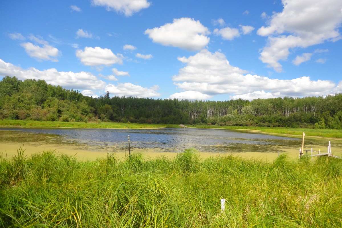
The new groundwater systems model developed by UAlberta researchers more accurately fits the climate of Alberta-and enables more effective water management strategies. Photo credit: Kelly Hokanson
A new, more effective land management unit for groundwater systems will vastly improve water management and assessment in regions like Alberta, according to new research by University of Alberta hydrology experts.
Currently, watersheds are the most common management unit for describing groundwater flow and interactions with surface water bodies, including wetlands, ponds and streams. However, these large-scale management units aren't the best fit for many areas of Alberta, and elsewhere.
"The reason these large-scale management units don't work well in Alberta is because we live in a sub-humid climate," explained Kelly Hokanson, PhD student under the supervision of Carl Mendoza in the Department of Earth and Atmospheric Sciences. "We are in a constant, precarious water balance. As a result, we have to be particularly careful when we are reconstructing or reclaiming landscapes after a disturbance, such as wildfire, forestry harvesting, petroleum extraction or oil-sand mine development."
The framework uses Hydrologic Response Areas (HRAs) and is based on data from a 19-year study in northern Alberta directed by Kevin Devito, professor in the Department of Biological Sciences. The current study included a physical analysis coupled with chemical and isotopic analyses of the groundwater systems. Instead of using topography to delineate regions, as the watershed approach does, the HRA approach uses a hierarchical framework that considers climate information first, followed by geology, and finally topography.
"The HRA management unit is more accurate and more useful than watershed units," said Hokanson. "It gives managers and conservationists a tool that will help them predict what's going to happen, as well as a tool that will help them assess the success of their remediation and other management efforts."
This framework is designed to be flexible enough to apply to many other environments.
"We believe that there is a need for a new management unit that will work for operations and managers in the boreal plains. The HRA unit will work for operations and managers in the way that watershed units do not for both planning and assessment," explained Hokanson.
"If the only management tools are at the scale of hundreds of thousands of square kilometres, they can't help you. We are hoping that this HRA framework bridges the gap."
This research is supported by Natural Sciences and Engineering Research Council (NSERC) Collaborative Research and Development Grants. The paper, "Interactions Between Regional Climate, Surficial Geology, and Topography: Characterizing Shallow Groundwater System In Sub Humid, Low-Relief Landscapes," was published in Water Resources Research (doi: 10.1029/2018WR023934).